Multi-scale Integration of Landscape Features with Plant and Water Quality Indicators
This website details an implementation program for monitoring Texas seagrasses following protocols that evaluate seagrass condition based on landscape-scale dynamics, including a hierarchical strategy for seagrass monitoring in order to establish the quantitative relationships between physical and biotic parameters that ultimately control seagrass condition, distribution, and persistence.
"Ecological Resilience Indicators for Five Northern Gulf of Mexico Ecosystems" report now availableSampling takes place at 679 permanent stations in Aransas and Redfish Bays, Corpus Christi Bay, and Upper and Lower Laguna Madre. High-resolution maps are available from our monitoring efforts for 2011 onward. In addition to annual Tier-2 monitoring, we have been working with The Nature Conservancy to incorporate seagrasses into their statewide Blue Carbon InVEST GIS model.
This project is conducted by scientists and graduate students at The University of Texas Marine Science Institute (data collection and synthesis) and The University of Texas at Austin Center for Water and the Environment (Dr. Tim Whiteaker, data management) under the direction of Dr. Ken Dunton. Starting in summer 2013, all field work and data collection is being overseen by Sara Wilson. All data are collected, processed and synthesized with funding provided by several sponsors (listed below).
For more information, please contact:
Dr. Kenneth H. Dunton (ken.dunton@utexas.edu)
Marine Science Institute
The University of Texas at Austin
750 Channel View Drive
Port Aransas, TX 78373
Voice: (361) 749-6744
FAX: (361) 749-6777
www.utmsi.utexas.edu/staff/dunton
Monitoring Plan
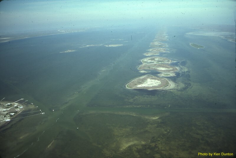
- Tier 1: A remote sensing component (typically at 1:24,000 resolution) for status and trends mapping that is regularly updated at about five-year intervals.
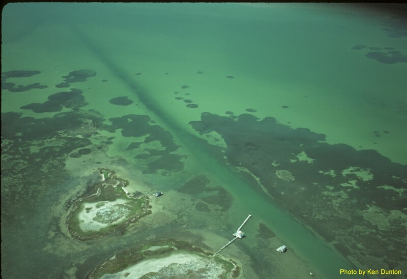
- Tier 2: A regional rapid assessment program using fixed stations sampled annually from a shallow-draft vessel; high resolution photoimagery analysis for deep edge delineation.
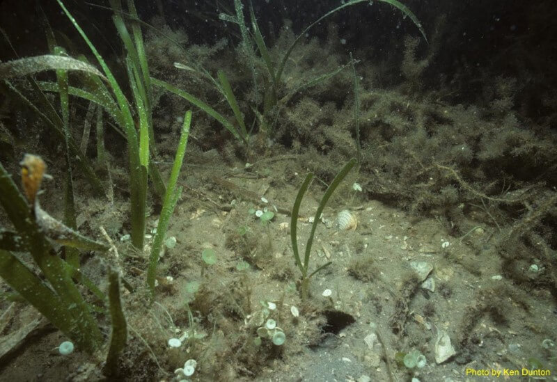
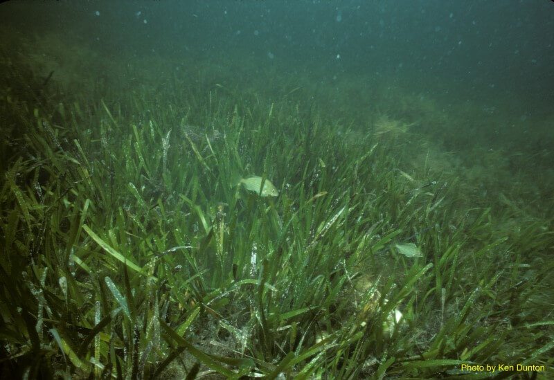
- Tier 3: An integrated landscape approach that includes permanent stations and transects that are aligned with high resolution photoimagery to examine the presumptive factors associated with changes in seagrass maximum depth limits and patchiness.
Sponsors
Funding for this research has been generously provided by:
![]()
National Oceanic and Atmospheric Administration
![]()
Mission-Aransas National Estuarine Research Reserve
![]()
National Park Service
![]()
Coastal Bend Bays & Estuaries Program
![]()
Texas General Land Office
![]()
Texas Coastal Management Program